Hiking

Hiking around Annecy

From woodland waterfalls to ridges above the lake, choose your terrain and prepare the route before setting off.

Photograph of La Tournette
OUR SELECTION

Find your next outing

5 result(s)Selection updated 28 October 2026

Check each venue’s website for opening times, access and bookings. Google Maps links provide reviews and directions.

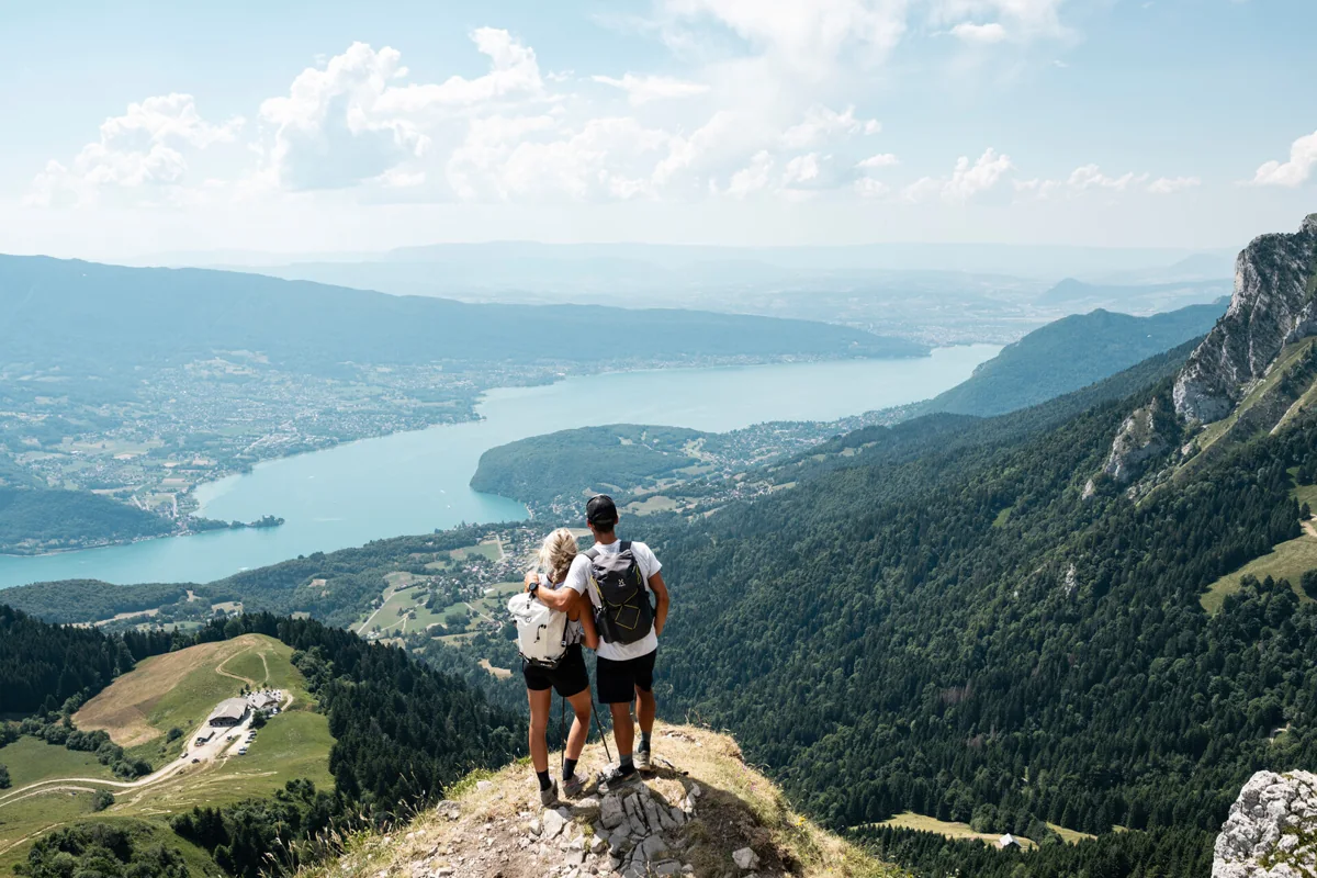
Peaks & ridges

2

Demanding hikes requiring a defined route and suitable weather.

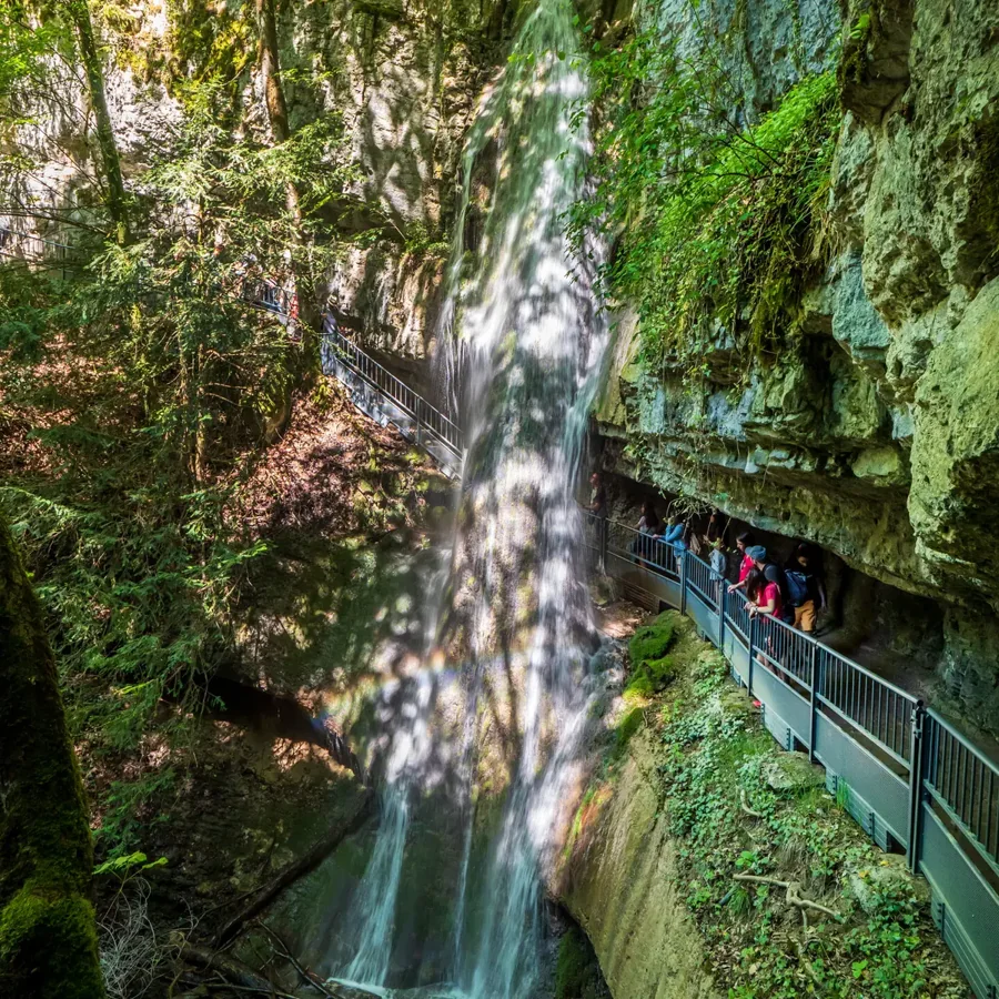
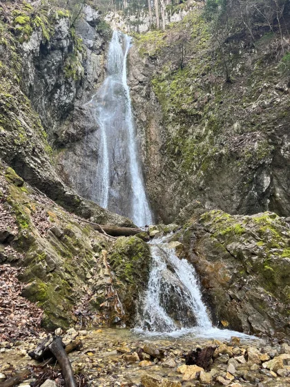
Waterfalls & woodland

2

Woodland paths with waterfalls along the way.

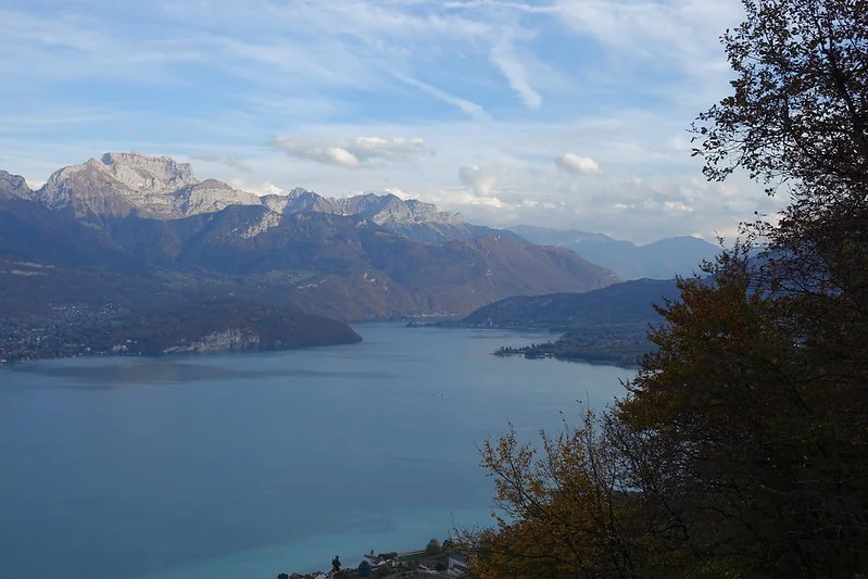
Semnoz viewpoints

1

A woodland climb with views of the lake.

One route, one starting point

There may be several routes to the same summit. Distance, ascent and duration must come from the same route description. Open the route link, identify the exact start and plan your return before setting off.

Match terrain and season

Waterfall paths can remain slippery after rain clears. Mont Veyrier and La Tournette require mountain preparation. Check weather, snow and closures, and choose an objective suited to the least experienced person.

Plan your return

Bring water, suitable clothing and an offline route. Allow time before dark and set a turnaround point. Driving directions locate the start; they do not replace the walking route or trail markers.

Your questions, useful answers

Which walk takes me to a waterfall?

Angon waterfall and the Villaz waterfall circuit are grouped under Waterfalls & woodland. Check trail conditions before choosing your start.

Is La Tournette suitable for a first hike?

It is a demanding hike with exposed, equipped sections for experienced walkers in suitable weather and snow conditions. Choose a shorter outing to begin.

Why do times vary for the same summit?

Starting points and variants change distance and ascent. Use one route description, then allow time for breaks and the return.